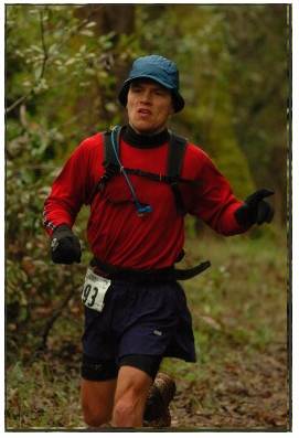
Western States - Safety Patrol Run Combo

Distance: Very long - approx 55 miles
Trail: single track mountain trails, 5 miles of rough gravel road, likely snow (if run in June)
Vertical: approx 12000 feet total - back and forth
Start: Robinson Flat (major aid station for WS100) , car parking nearby, drive up from Auburn
Route:
- Run the WS100 course reverse from Robonson Flat to Squaw Valley
- Avoid Duncan Canyon on first leg, instead going up Soda Springs Rd to where Red Star Ridge aid station is (this avoids approx 6 miles, and 1500 vertical feet climbing)
- Continue to Squaw Valley along WS100 trail. Follow WS100 yellow trail markings
- Stay over night in Squaw
- Run with WS100 Safety Patrol back to Robinson Flat next day
- Get an early start to climb up Squaw Valley ski slopes before start at 5am
- This time going over Duncan Canyon loop
- Make sure to pair up with one other runner as Safety Patrol
Bring 3 water bottles - to keep hydrated on long hot sections.
JF
![]()

No comments:
Post a Comment